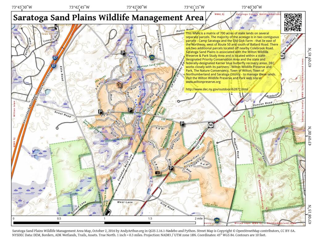
Pixley Falls-area
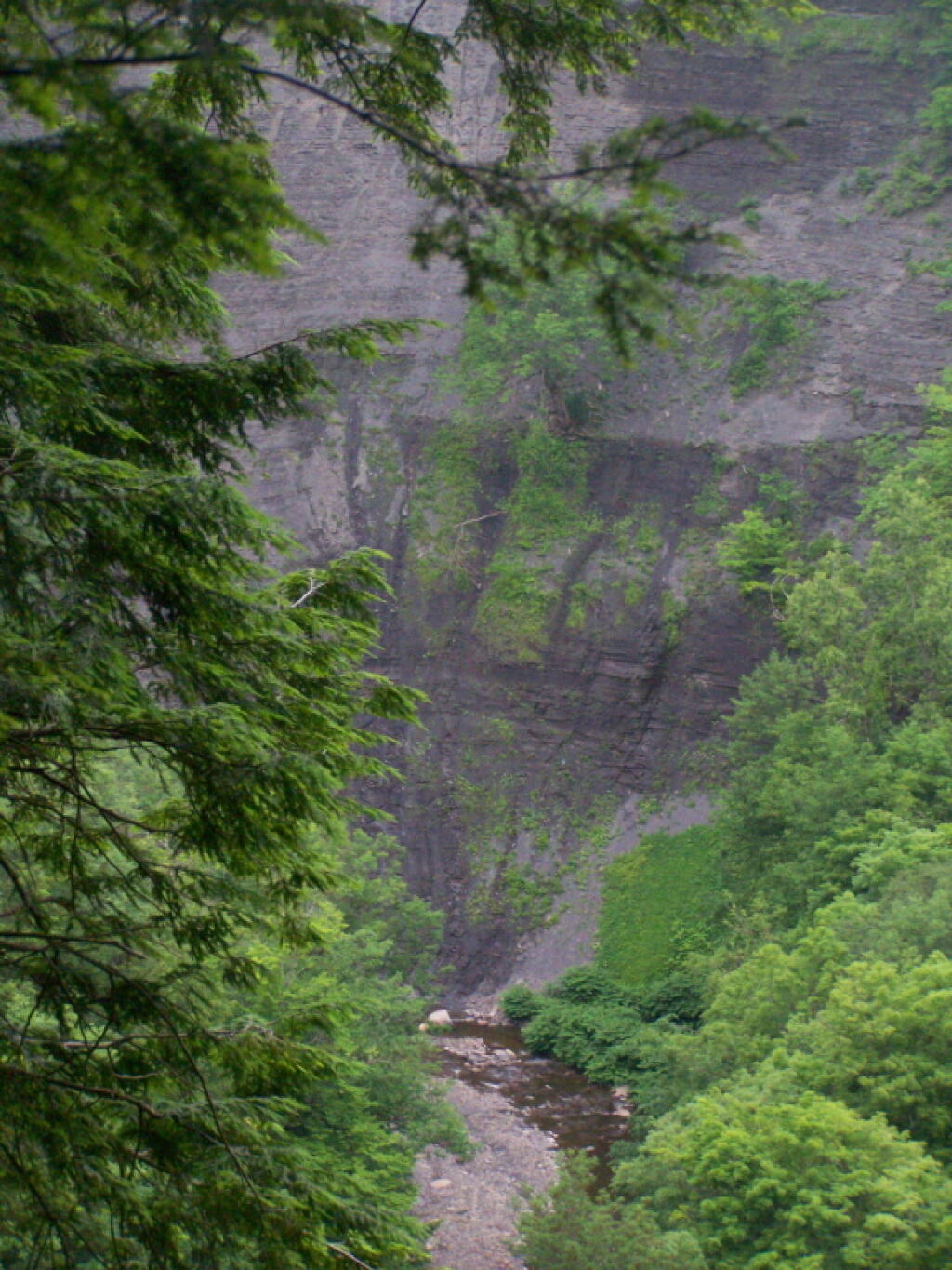
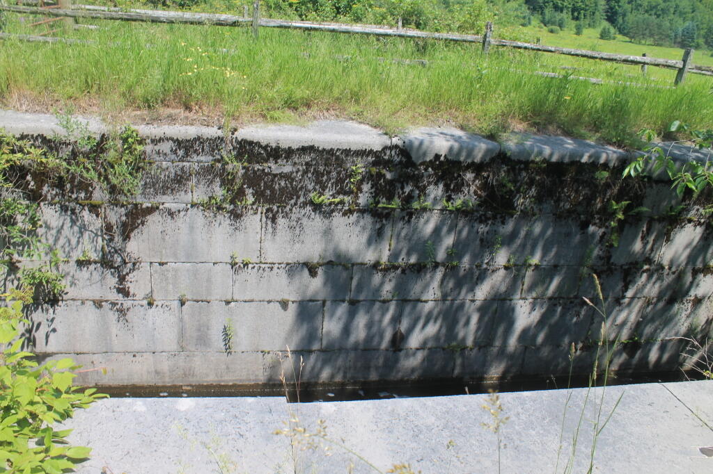
The Black River Canal once wound through that gorge that is now home to Pixley Falls State Park. The state owns most of the land on the forested hills around the gorge.

The Black River Canal once wound through that gorge that is now home to Pixley Falls State Park. The state owns most of the land on the forested hills around the gorge.
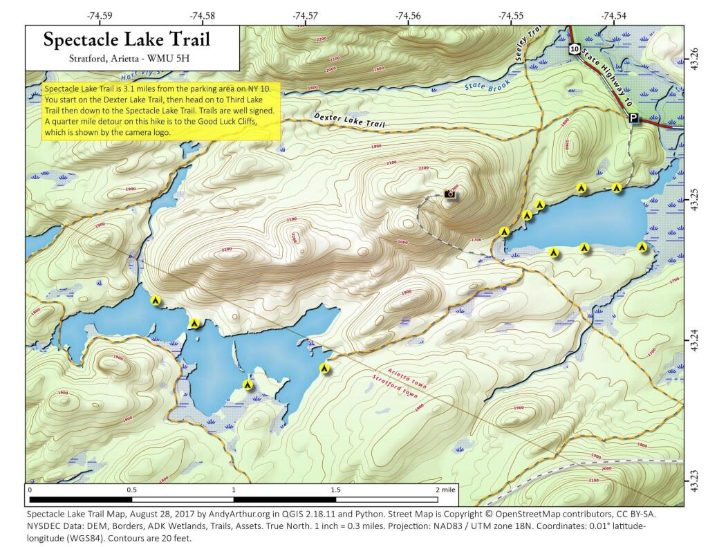
Here is an 250k or possibly more zoomed in Digital Raster Graphic old topographic map of the Tug Hill. Nothing that remarkable but I like looking at maps.