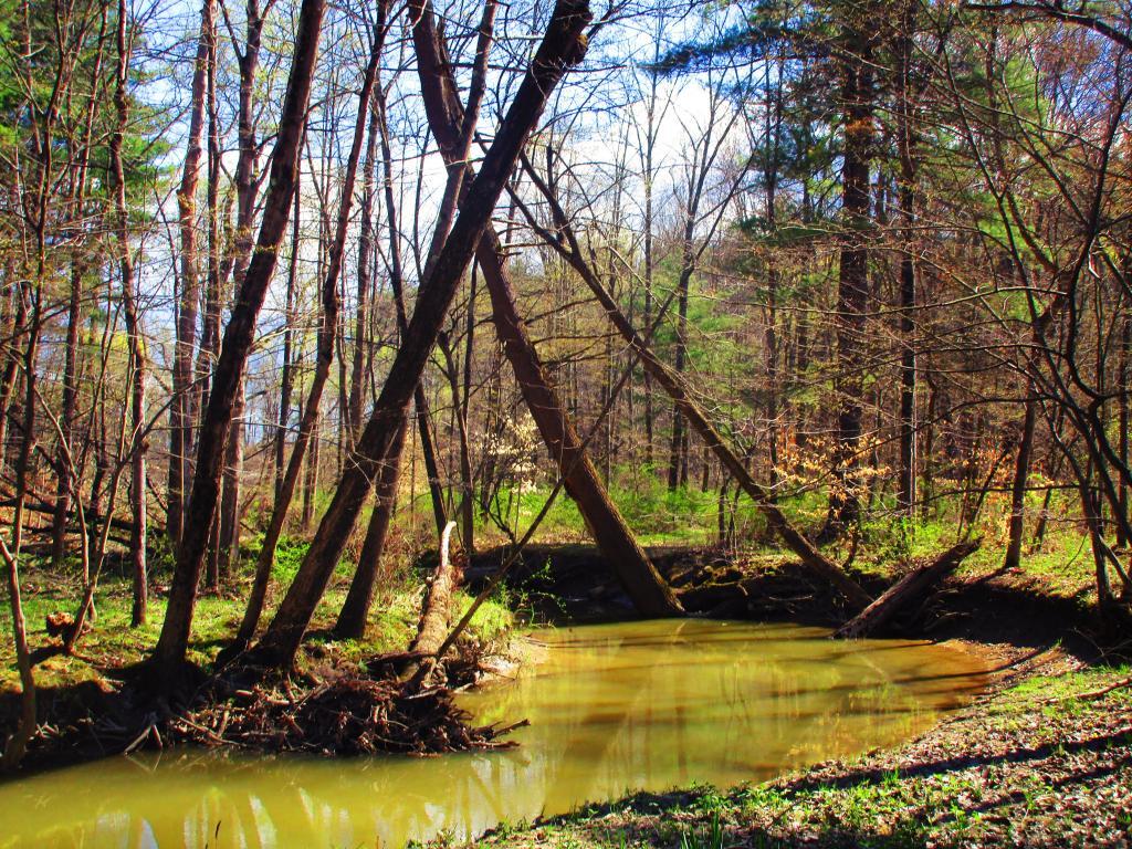
Phillpin Kill at Van Dyke Preserve Andy | April 14, 2026 Sunday April 18, 2021 — Stewart's — Iraq 🗺 — Red Brook State Forest 🗺 — Ushers Road State Forest 🗺— PDF with All Maps 📚