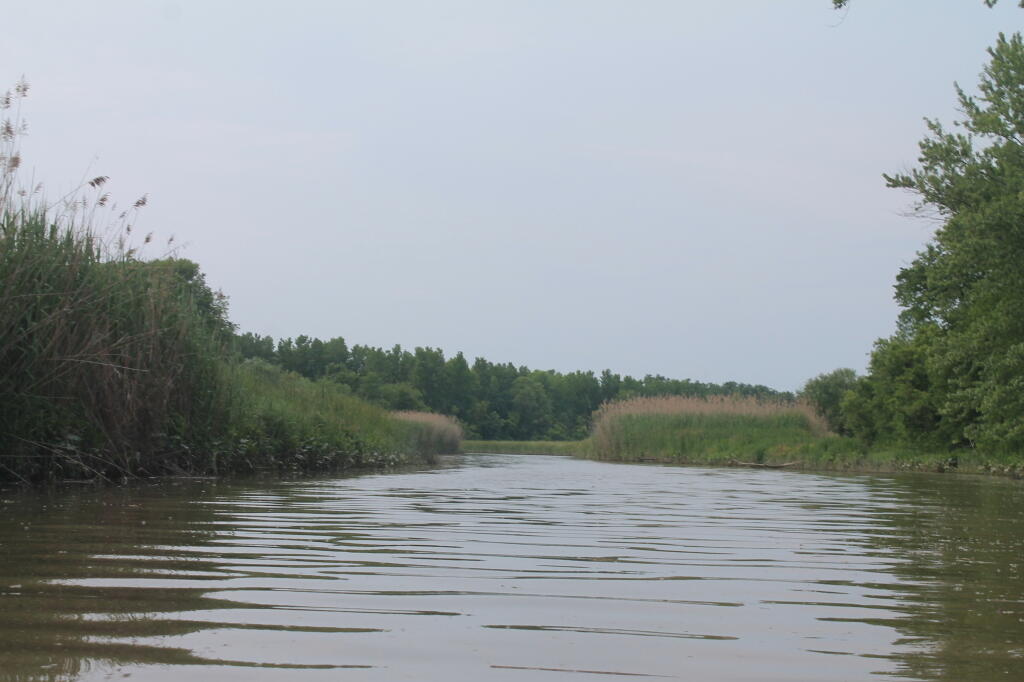
Schodack Creek 📍

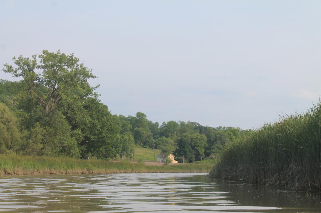
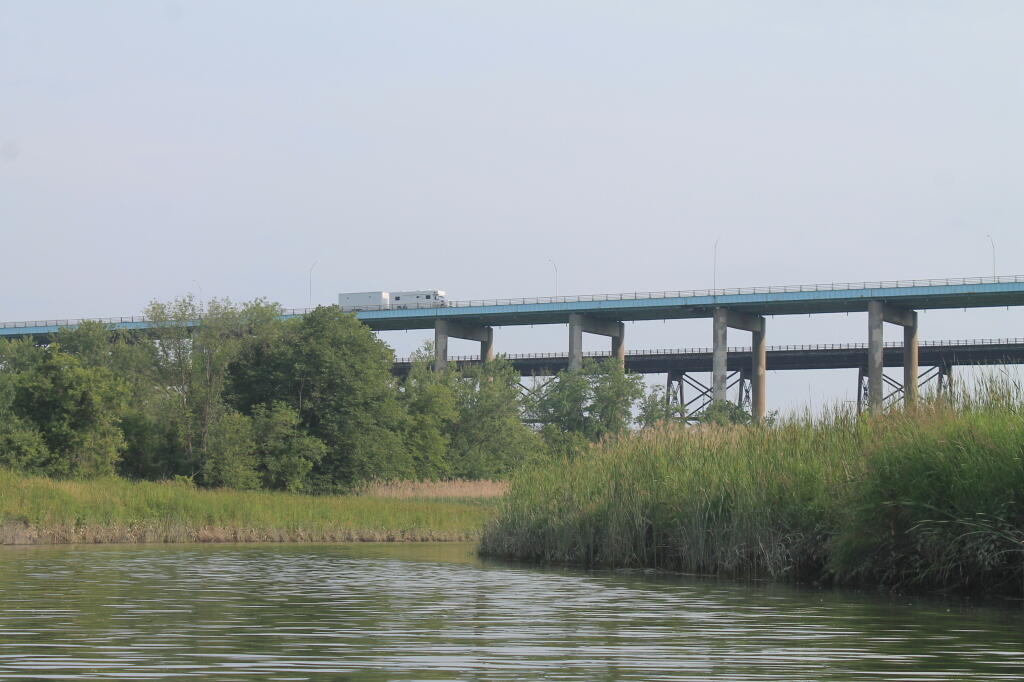
Offering paddling for several miles along the Hudson River, area turns to mud-flats in low tide, and a muddy brown that is paddle-able in high tide.
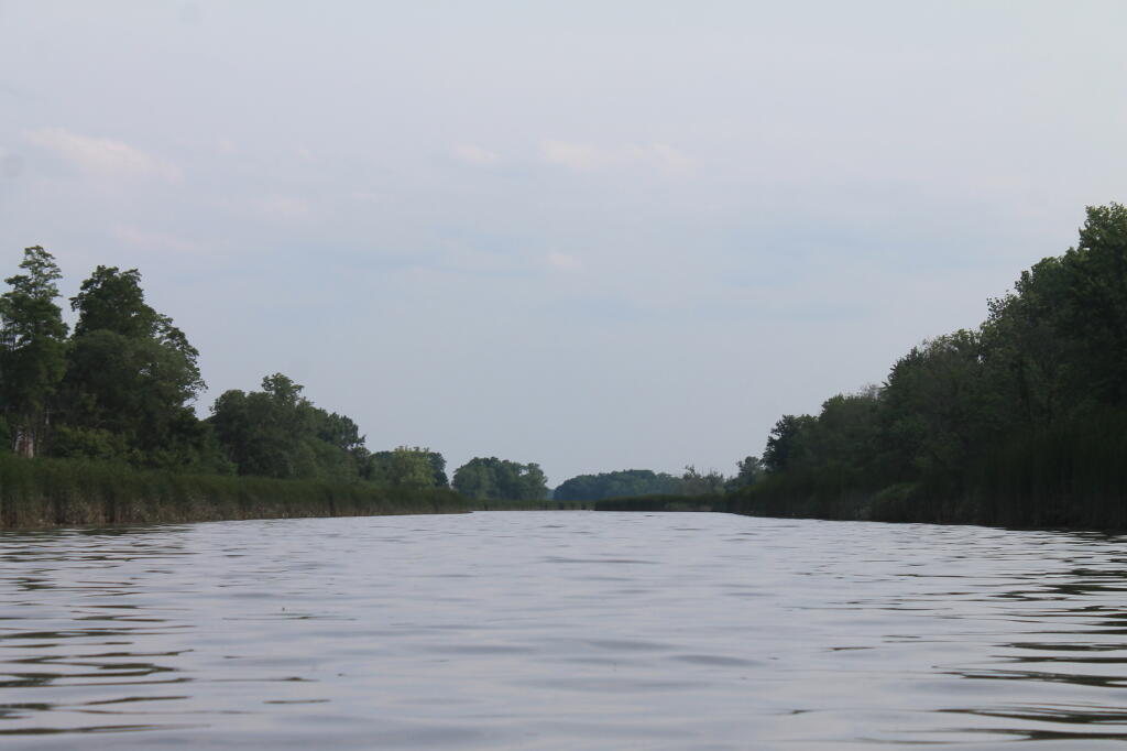

🖼️ Photos
SVGZ Graphic: Central NY Population Density
Map: Overview Map Piseco-Powley Road
Map: Debar Pond
Map: Frank E. Jadwin State Forest
Thematic Map: Myostis Lake Watershed NLCD