Federal Library



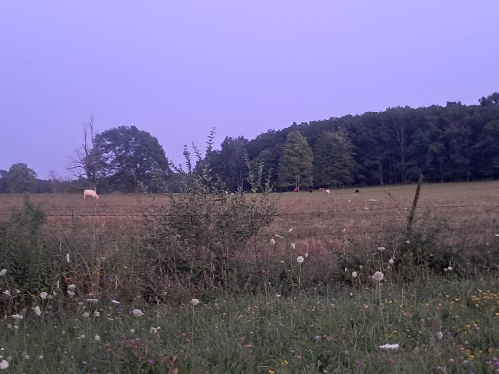
NAIP Imagery, October 2022.

There are a lot of homes in Rensselaerville that date back to around 1800 as seen on this map. Click on the square box to pull up the full assessment record and see the exact year of construction, when available. Be aware that assessor records aren't always perfectly accurate for really old structures when it comes down to date constructed.