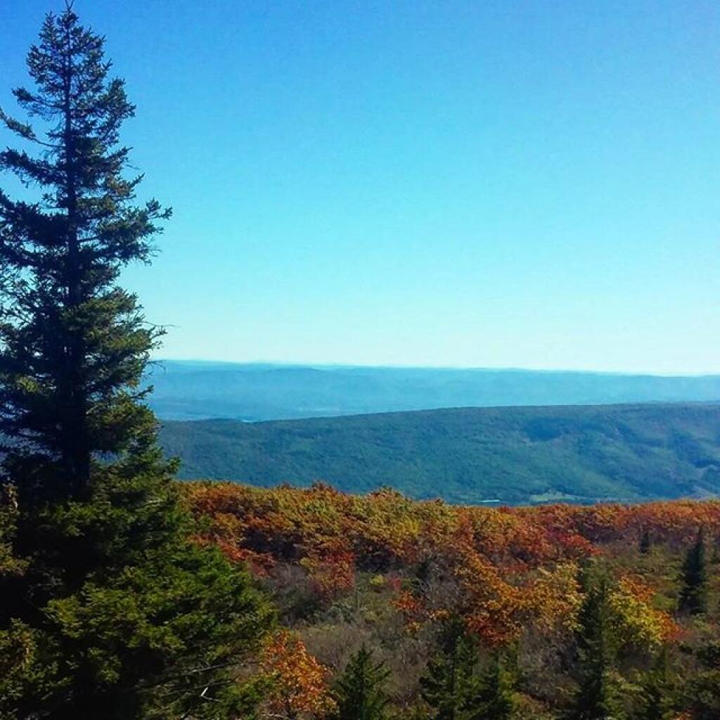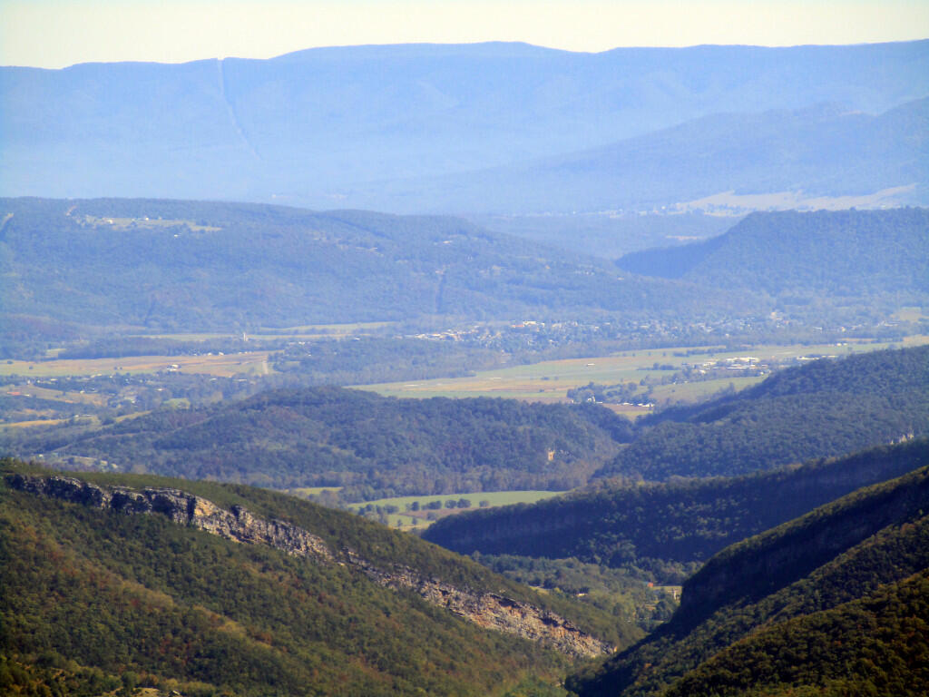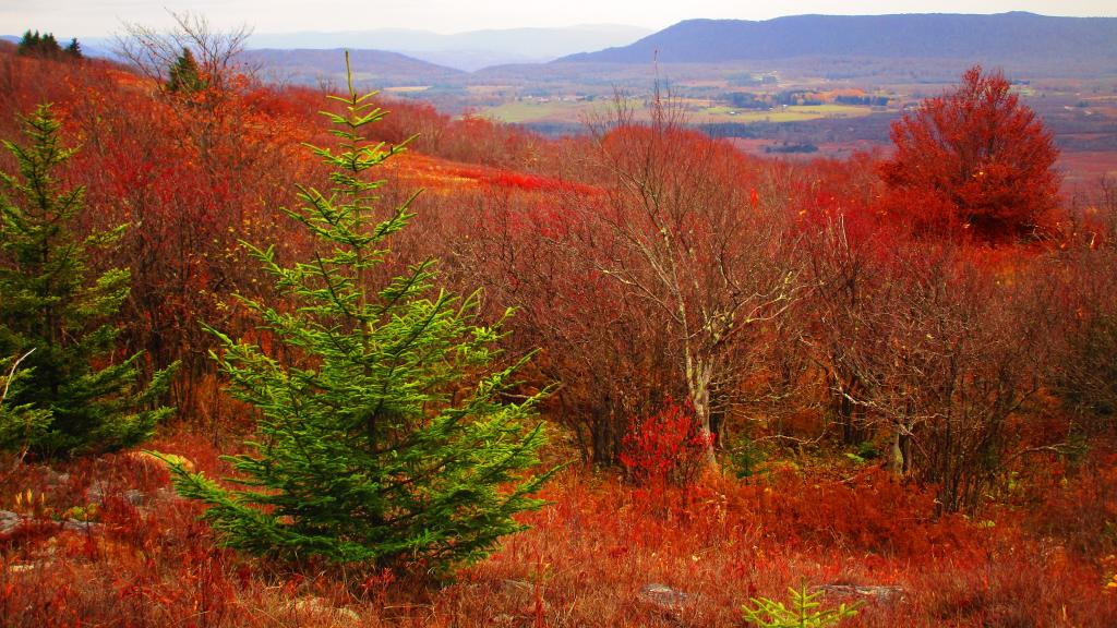
Looking Off Cabin Mountain Into the Canaan Valley
Looking south-west off Cabin Mountain at Dolly Sods to the high-elevation Canaan Valley, towards Dry Fork. To the left is Rich Mountain and to the right is Canaan Mountain.
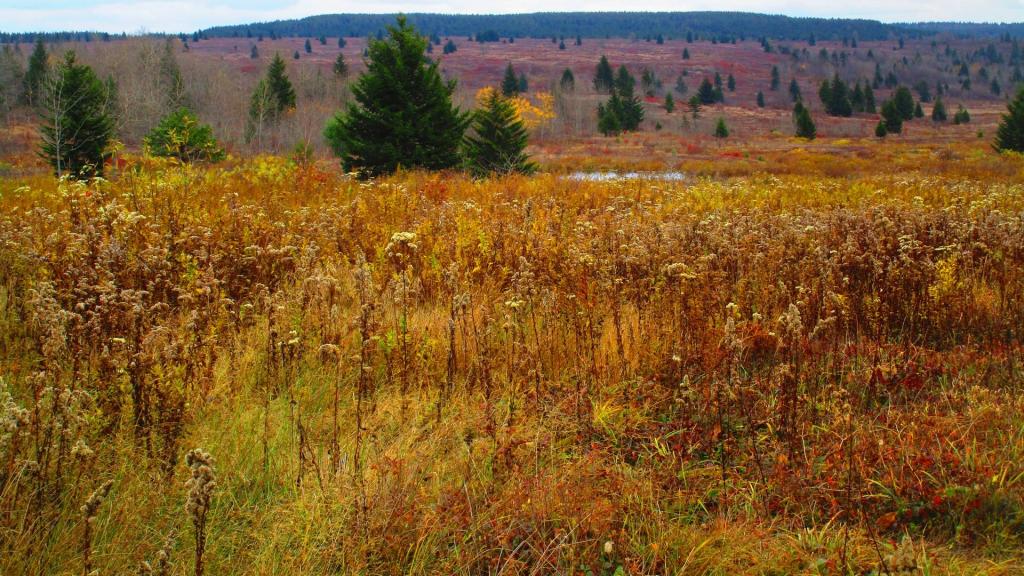
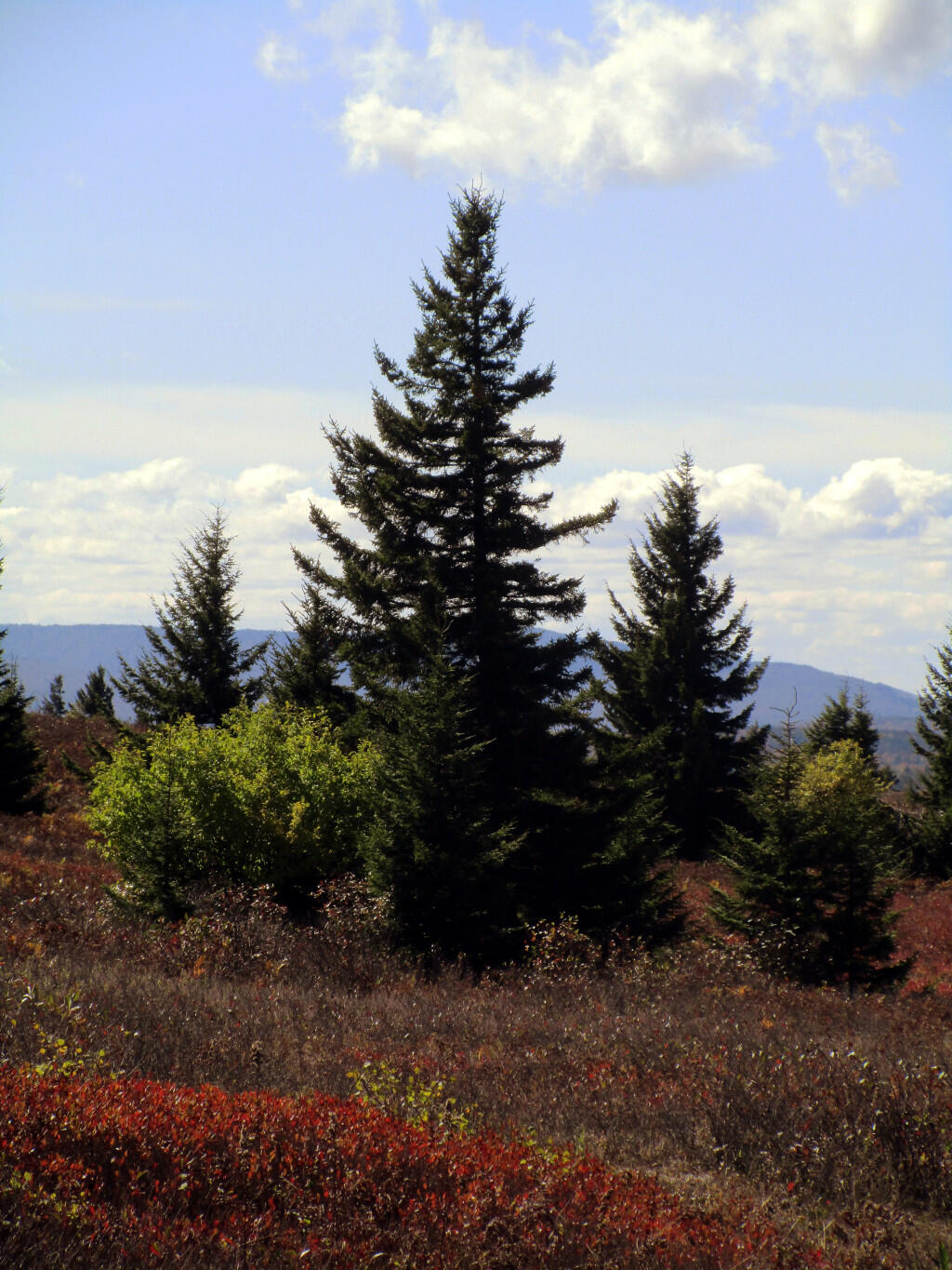
Friday October 27, 2023 — Dolly Sods Wilderness — Dolly Sods Wilderness Trails 🗺