Troy
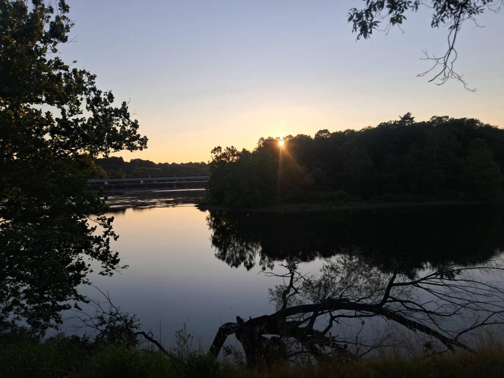
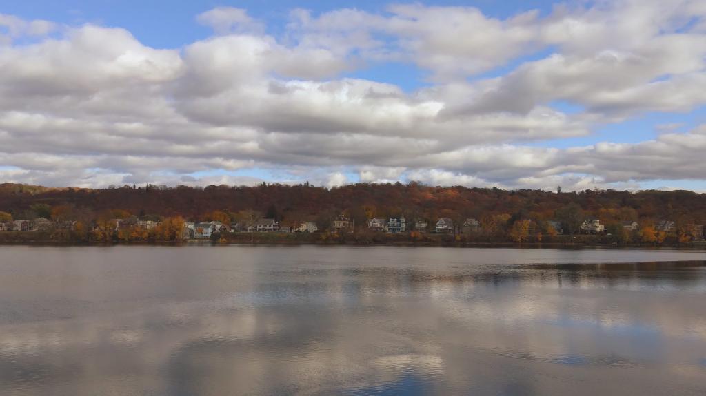
From the bridge over the Third Branch of the Mohawk.
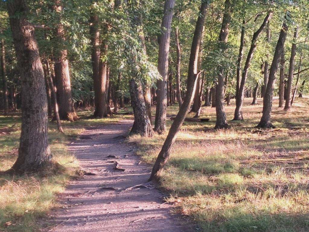
Saturday November 11, 2023 — Peebles Island State Park

From the bridge over the Third Branch of the Mohawk.
Saturday November 11, 2023 — Peebles Island State Park
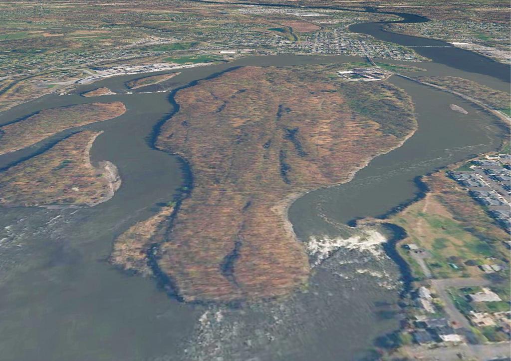
Peebles Island, perched high above the confluence of the Hudson and Mohawk Rivers has an interesting terrian to explore using LiDAR imaging and hillshade.

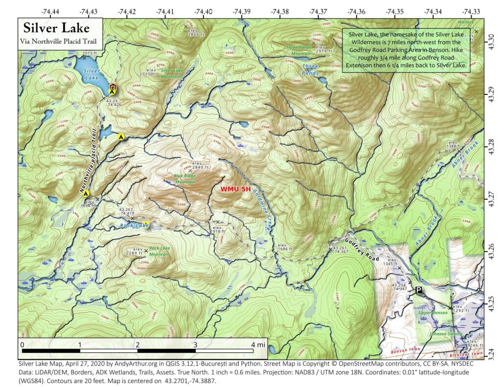
In my latest adventures with 3D mapping, I am exploring Peebles Island.