Original US 15 and NY 17 Traffic Circle in Painted Post (Aerial)
Here is a 1968 aerial photo of the Original US 15 and NY 17 Traffic Circle in Painted Post from Mapwarper and Earth Explorer.

Here is a 1968 aerial photo of the Original US 15 and NY 17 Traffic Circle in Painted Post from Mapwarper and Earth Explorer.


Down at the Lower Assembly Area at Sugar Hill. Due to the Pine Trees, you would be hard to know it's not summertime here.
Monday November 8, 2010 — Sugar Hill State Forest — Sugar Hill State Forest 🗺

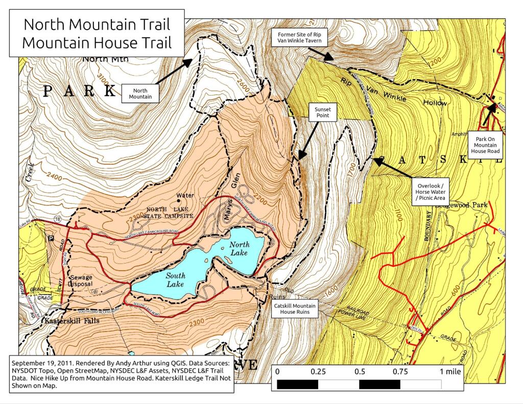
The Oliverea-Mapledale trail runs 3 1/4 miles from McKinley Hollow Road to Rider Hollow Road in Mapledale. There is a 1,400 foot climb to the col from the east, and roughly 1,000 feet down the otherside. Two lean-tos exist on way up to the col.
https://andyarthur.org/shandaken-wild-forest
http://www.dec.ny.gov/lands/22615.html

