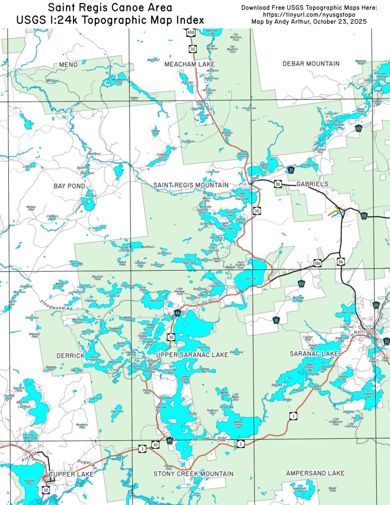
Malone Area
When you out of the northern fringe of the Adirondacks, leaving past Debar Flow and Titus Mountain, the Adirondacks rapidly drop into the relatively flat St. Lawrence Plain.

When you out of the northern fringe of the Adirondacks, leaving past Debar Flow and Titus Mountain, the Adirondacks rapidly drop into the relatively flat St. Lawrence Plain.