Charles Flood Wildlife Management Area At The Empire Brickyard 📍
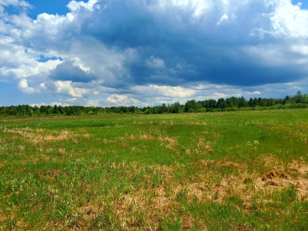
The Charles Flood Wildlife Management Area (CFWMA) s a 591-acre parcel acquired in 2018 from Scenic Hudson primarily to expand and improve wildlife dependent recreation opportunities such as hunting, trapping, and wildlife viewing; for the preservation of spawning and nursery habitat for coastal, migratory, and resident fish; and the protection of rare plant species. This WMA is made up of fields, forested uplands, shrublands, and tidal marsh. A portion of the property is part of the Hudson River National Estuarine Research and Reserve, specifically the Stockport Flats Research and Reserve site, and is also recognized as an Important Bird Area by the National Audubon Society. The property is also an archeological site of sensitivity and is identified as part of the Columbia-Green North Scenic Area of Statewide Importance. It is the former site of the Empire Brickyard Company, which went out of business before 1940 due to the depletion of clay resources in the Stockport area.