Schenectady County πŸ“

Schenectady County is a county located in the U.S. state of New York. As of the 2010 census, the population was 154,727. It is part of the Albany-Schenectady-Troy Metropolitan Statistical Area. The county seat is Schenectady. Schenectady County is located west of Albany on the Mohawk River, and contains both the river and uplands around it.

πŸ–ΌοΈ Photos πŸ“½οΈ Videos

Proposed Aerterials in Schenectady, 1947

The yet to be built Interstate 890 took a similar route, but ended up in a large traffic circle at Erie Boulevard in the 1947 Proposed Downtown Arterial Routes study. The Route 50 Connection also was never built, with most traffic continuing to use the Great Western Gateway Bridge or Freeman's Bridge.

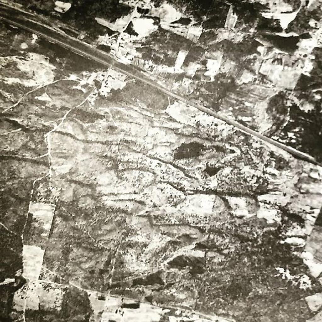
Proposed Aerterials in Schenectady, 1947

Thematic Map: Primary Direction of Hillsides in NYS - Aspect

Isle of the Onondagas

Isle of the Onondagas also known as Big Island is an island on the Mohawk River south of Scotia in Schenectady County, New York.

Map: Normans Kill Ravines Preserve
Map: Green Mnt NF Forest Road 74 Camping

To make Schenectady easier to spell, I support using the English translation, “City Beyond the Pines”. 🌲🌲 πŸ¦πŸ¦‰ πŸ¦‹πŸŒ²πŸŒ²

To make Schenectady easier to spell, I support using the English translation, “City Beyond the Pines”. 🌲🌲 πŸ¦πŸ¦‰ πŸ¦‹πŸŒ²πŸŒ²

An obvious benefit – less Thruway signage needed, people will know when they are approaching their exit at least heading Westbound.

At least Schenectady is easier to spell than SkahnΓ©htati, the proper spelling.

Map: Hemlock Lake And Canadice Hollow