Lewis County 📍

Lewis County is a county located in the U.S. state of New York. As of the 2010 census, the population was 27,087.[1] It is named after Morgan Lewis, the Governor of New York when the county was established. Its county seat is Lowville.

Lewis County is located in northwestern New York State, slightly east of due north from Syracuse. The eastern part of the county is in the Adirondack Park. A good portion of the Tug Hill Plateau is in the western part of the county. The county is home to the Black River Valley.

http://en.wikipedia.org/wiki/Lewis_County,_New_York

Download the PDF Map Pack
🗺️ Maps 🖼️ Photos

Whetsone Gulf

Whetstone Gulf State Park is built in and around a three-mile-long gorge cut into the eastern edge of the Tug Hill Plateau outside of Lowville, New York.
Terrain Map: Indian Fields Before the Alcove Reservior
Map: Fawn Lake
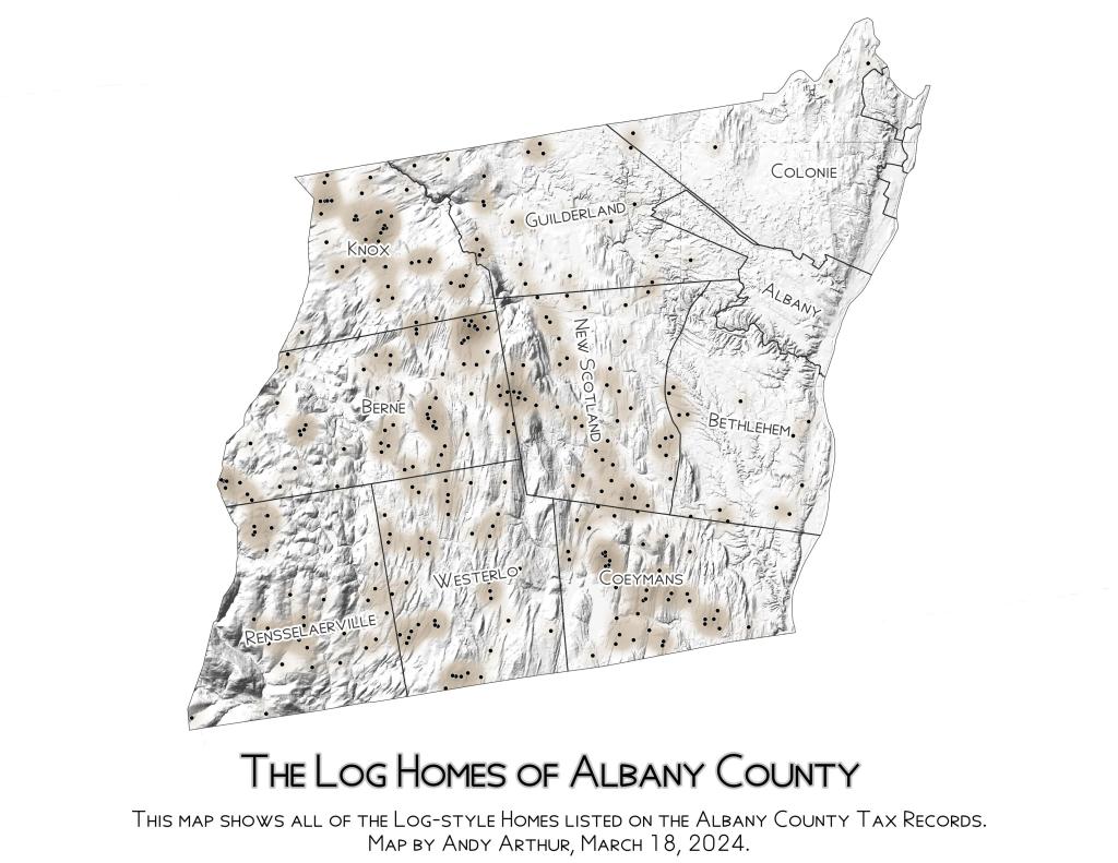
Thematic Map: Log Homes of Albany County

Moshier Reservior

The three-mile long Moshier Reservoir exists below Stillwater Reservoir outside of Stillwater. Access is via Neccessary Dam Road, and provides miles of paddling without the craziness or choppiness of Stillwater Reservior. There are a handful of campsites along the shoreline.

 Moshier Reservior

Map: Oakley Corners State Forest
SVGZ Graphic: Control of State Government - By Percentage of US Population