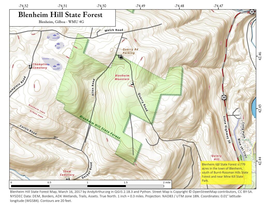
Display Full Screen - Control + Mouse to Pan, SHIFT and +/- to zoom, arrow keys pan around MapLibre GL map.
Huntersfield Mountain
Interactive 3D Map of Huntersfield Mountain from Jim Clevelan Road to the summit where a lean-to is located.
Display Full Screen - Control + Mouse to Pan, SHIFT and +/- to zoom, arrow keys pan around MapLibre GL map.
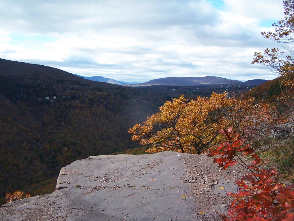
View from Inspiration Point
Blackhead
Bearpen Mountain Trail
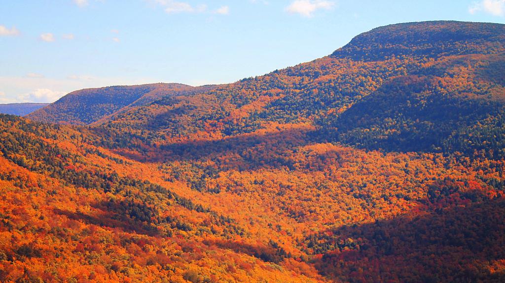
A two and a half mile hike up a gated gravel road from a driveway off Don Irwin Road to the first overlook on Bearpen Mountain, gain 1,738 feet.